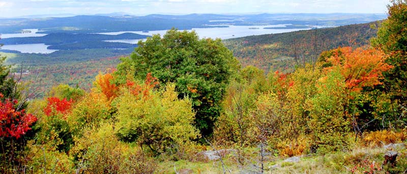
This map shows the large parcels in the Belknap Range which have been conserved by a governmental agency or land trust, either through fee ownership or by conservation easement. Note that lands conserved by a conservation easement are privately owned and may not be open to the public for pedestrian access. BRCC started meeting in 2006 as a group (first formative meetings with very few people were in 2005) and acquired NH non-profit status in 2008. Since 2006 nearly 3800 acres have been conserved in the range. To see a spreadsheet with parcels, acres and years, click "Read More" below. BRCC helped facilitate the conservation of these lands by working with coalition members.
|
Acres |
Name |
Year |
|
341.98 |
Durrell Farm CE |
2006 |
|
322.35 |
Swett Mountain CE |
2006 |
|
512.56 |
Morse Preserve |
2008 |
|
61.01 |
Roux |
2008 |
|
175.50 |
Sanborn Farm LLC |
2008 |
|
114.11 |
Rendall CE |
2009 |
|
211.97 |
Winsheblo |
2010 |
|
13.33 |
Tracy |
2012 |
|
118.58 |
Jensen |
2013 |
|
488.14 |
Quarry Mountain |
2013 |
|
327.39 |
Jail Pasture |
2014 |
|
86.40 |
Fenollosa |
2015 |
|
82.18 |
Roberts |
2015 |
|
15.44 |
Greenwood CE |
2016 |
|
20.99 |
Greenwood Tract 1 |
2016 |
|
7.69 |
Greenwood Tract 2 |
2016 |
|
33.86 |
Gregoire |
2016 |
|
22.93 |
Rollins |
2016 |
|
273.00 |
Piper Mountain |
2017 |
| 65.3 | Weeks | 2022 |
| 230.1 | Addison Cate Preserve CE | 2022 |
| 221.9 | Morse Preserve - Freese Addition | 2022 |
|
Total |
3776.7 |
|